DrMoab
NAXJA Forum User
- Location
- The Utah Backwater
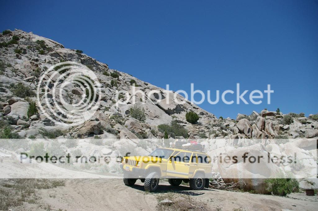
This is quite possibly the most remote area I have ever ventured. To make the trip a little more un-nerving, We did it in a single vehicle with no back up. (don't worry, we had a time table to be back and everyone had good directions to where we would be)
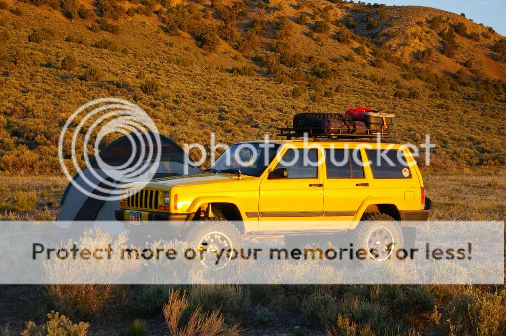
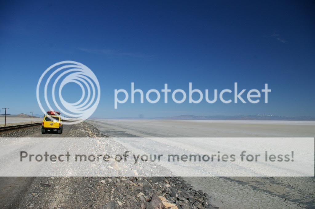
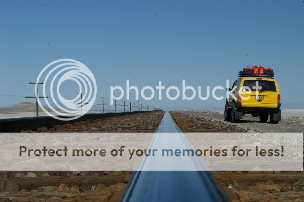
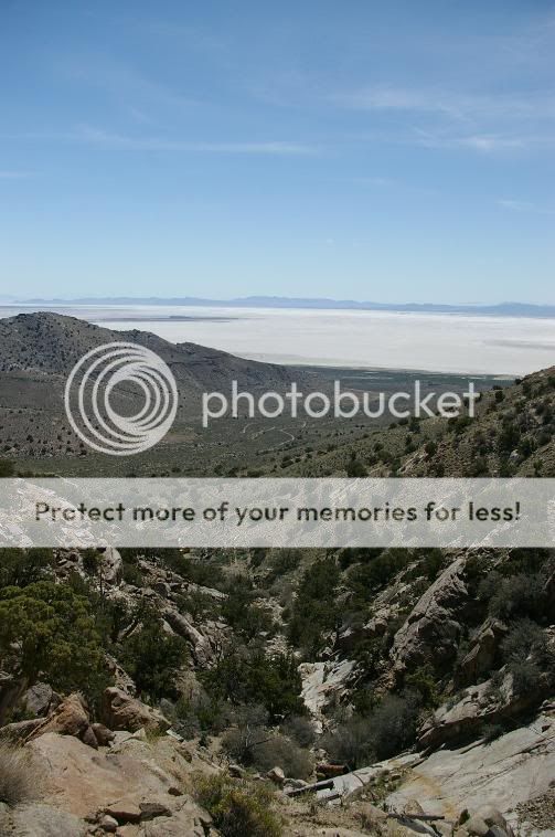
We left home yesterday evening about 9:30PM and drove 150 miles to the Hogup Mtns on the western edge of the Great Salt Lake. After parking at 2AM and setting up camp we sat back and drank a couple cold ones to unwind. At 6:30 this morning I could see the orange glow from the sun peeking over the lake so I got up to grab a couple quick shots.


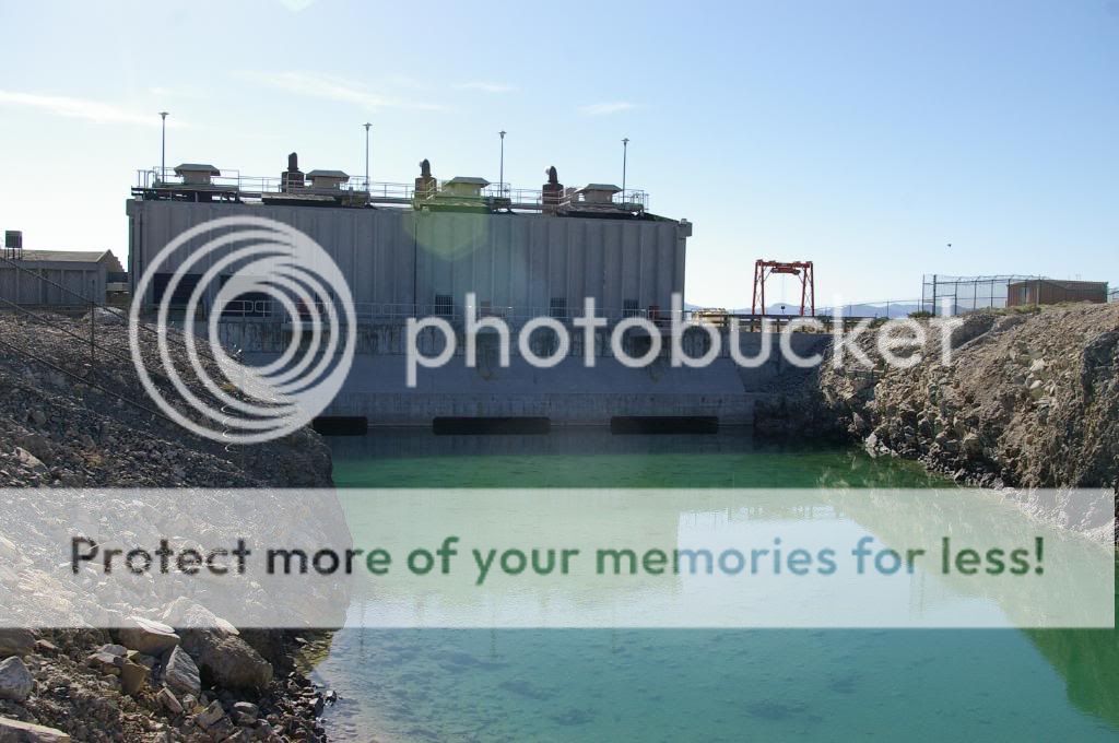
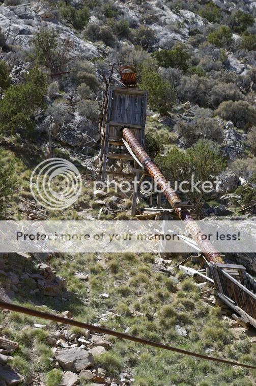
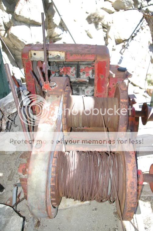
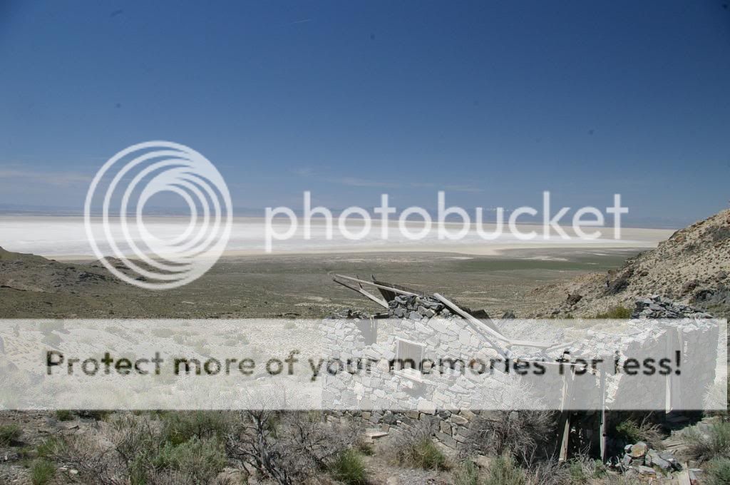
After leaving the Hogup Mtns we headed south to the old pumping station. Years ago when the lake reached record levels a very stupid Governor in Utah thought it would be a good idea to pump the water out of the lake into an evaporation pond on the western edge of the state. They never used them. The lake receded on its own.
The pump house.
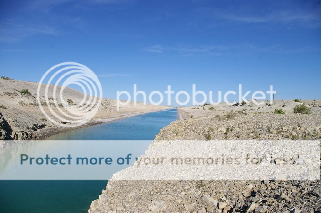
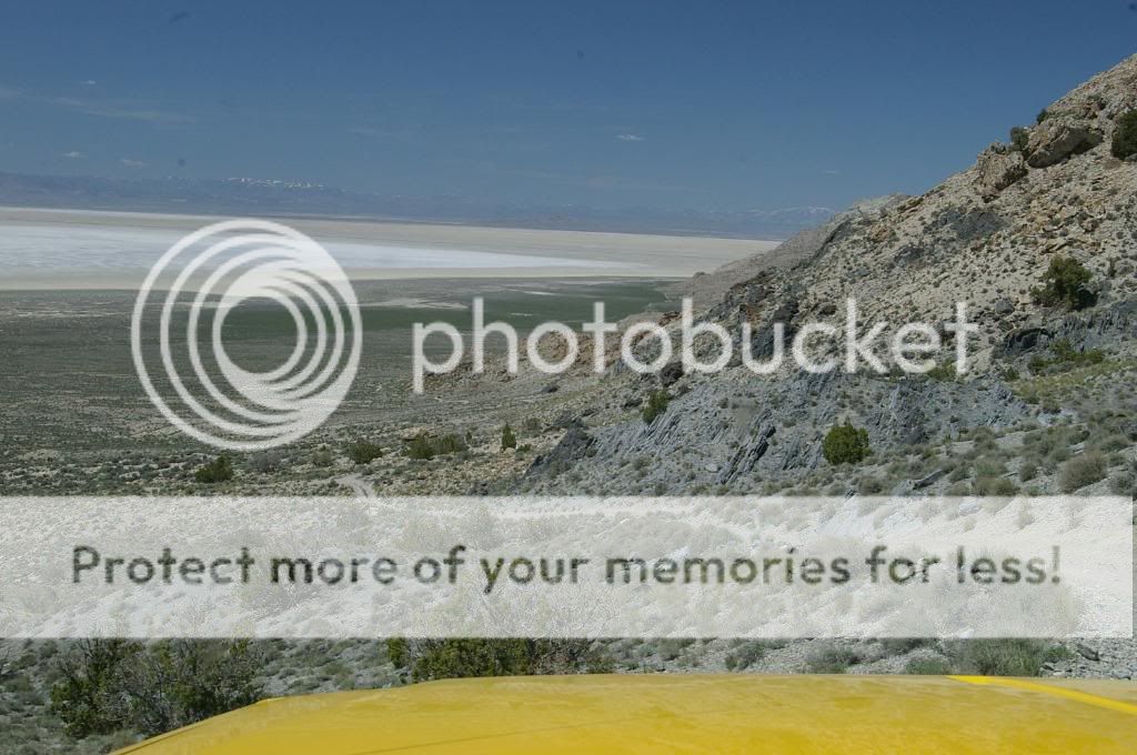
The Canal heading west into the mud flats.
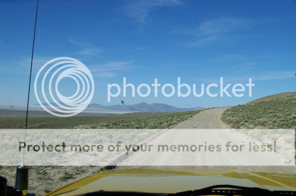
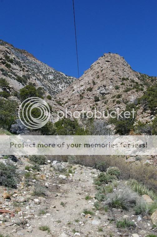
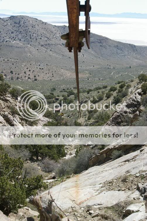
Once we left there, we got a look at the Newfoundland Mountains for the first time.
We left home yesterday evening about 9:30PM and drove 150 miles to the Hogup Mtns on the western edge of the Great Salt Lake. After parking at 2AM and setting up camp we sat back and drank a couple cold ones to unwind. At 6:30 this morning I could see the orange glow from the sun peeking over the lake so I got up to grab a couple quick shots.
After leaving the Hogup Mtns we headed south to the old pumping station. Years ago when the lake reached record levels a very stupid Governor in Utah thought it would be a good idea to pump the water out of the lake into an evaporation pond on the western edge of the state. They never used them. The lake receded on its own.
The pump house.
The Canal heading west into the mud flats.
Once we left there, we got a look at the Newfoundland Mountains for the first time.
Last edited:
")