Re: autorouting GPS
Autorouting is this simple: I tell the GPS where I want to go and it provides turn-by-turn directions on the roads and trails that will get me from where I am to where I want to be. It also gives the distance of my route and shows the distance remaining to my destination as well as to my next turn. I can also add route waypoints to force it to guide me along roads other than the fastest or shortest way. This allows me to enjoy the scenery while being able to tell at a glance whether I am going the correct way and when to start looking for my next turn. No need to examine the map to see where I am, the GPS does that for me.
I only have auto-routing experience with Garmin GPS’s so the following only relates to them. The key to getting turn-by-turn routing is having the Topo U.S. 24k maps loaded onto a Garmin GPS that does turn-by-turn routing. The roads and trails on those maps are routable, unlike the plain jane Topo maps. Many of the Garmin GPS units do not come with this software, either. Garmin does not make this clear at all but this page does show the different map programs:
http://www.garmin.com/garmin/cms/us/maps/onthetrailmaps
Don’t waste money on the non-24k Topo series, these are 100k metric maps and are NOT routable!
When choosing a GPS unit look for one that offers all 3 of these features: (1)Ability to add maps, (2)accepts microSD or SD data cards, (3)and most important of all, automatic routing (turn by turn routing on roads). These features are also not very obvious, it is better to check the Garmin website. The last feature for the ultimate Jeepin GPS is the ability to auto route on an imported, off-road track. This is very important when trying to find a trail that is not in the Garmin map. Unfortunately Garmin does not provide any information on this ability, I had to figure out by trial and error which units support this feature. So far, I have found the Zumo 550, GPSMAP 60Cx and Rino 520HCx do it, the Nuvi 500 does not. I am sure that other Garmin units have all of these capabilities, I just can not say which ones since I have no personal experience with them.
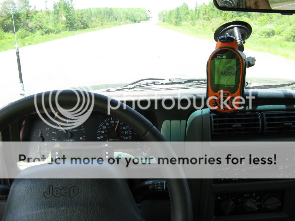
Some examples of auto-routing vs. non auto routing, using screenshots from my Zumo. Going in order starting from least useful:
Using City Navigator, no topographic information is displayed and the 100+ year old road I am on does not even show up. This is what you get with street-oriented navigation systems:
Using the non-routing 100k Topo, the road is displayed as a faint line but is not routable. I now know where I am but how do I get to where I want to be and how far away is that?
The most basic of routing which any outdoor GPS can do, the compass for off-road navigation. The red heading bug stays at the top of the compass rose, while the rose rotates around to indicate heading. The red arrow shows the bearing to your waypoint. The GPS displays the distance in a direct line to that waypoint.
Here is the same thing applied to the map:
“Start Point” is where I was when I programmed in the waypoint. The checkered flag is my chosen destination. The magenta line it the straight line route between the two. The burrito is my present location , the arrow in the lower right hand corner tells me where my destination is in relation to my current direction of travel. The cyan line is the breadcrumb trail showing where I have been. Any mapping GPS can do this.
Now an auto-routed destination. The green bar at top gives me direction and road instructions. The magenta line follows the road I am to take. The lower right-hand corner now shows distance to my next turn. In the middle is a dubious ETA that I ignore for off-road use but is pretty reliable on paved roads.
Zooming in closer gives me a great look at my position on the moving map and an idea of which way the road is going to twist. My direction of travel is up, the map pans around the vehicle icon.
These are actual size screenshots. I have never wished for a larger screen, nor is one necessary for auto-routing use. That is the real beauty of an auto-routing GPS!
Now if you really want a netbook GPS I would first look for a topo program that also will route you along roads. The computer and GPS puck are the bones and the muscle, software is the brain that makes it all work. National Geographic Topo, Maptech Terrain Navigator and Overland Navigator all use the same scanned USGS 7.5 minute topo maps. They allow tracks and waypoints to be displayed on the map and show you and your breadcrumb trail in relation to them. It is up to you to figure out how to get to where you want to go. The 7.5 minute maps are very detailed but don't lend themselves to easy reading on the fly. Satellite photos are even less readable. None of those programs will pan the map around your direction of travel which would make them a little more easy to use in the field. They are GREAT for looking at where you have been when you get home.
Of course all of this is assuming that you want device that will efficiently help you find your way on unknown roads. Don't let me discourage you from buying a new computer if that is what you want.
")