travisk
NAXJA Forum User
- Location
- Fullerton, CA
I just got back from a four day roll through Panamint Valley and Death Valley and figured I'd share the route that I planned out for anyone else looking to explore this amazing piece of wilderness on back roads and 4x4 trails.
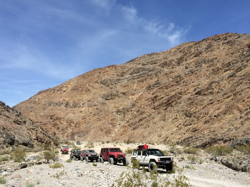
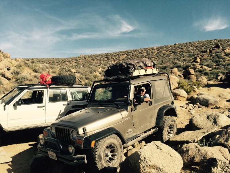
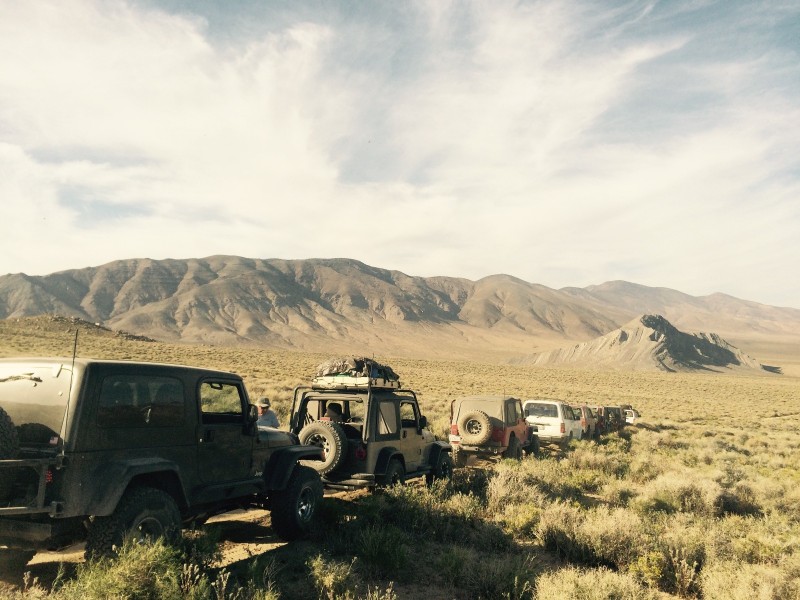
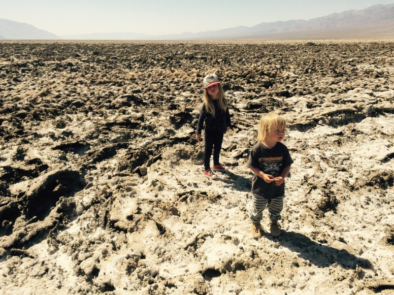
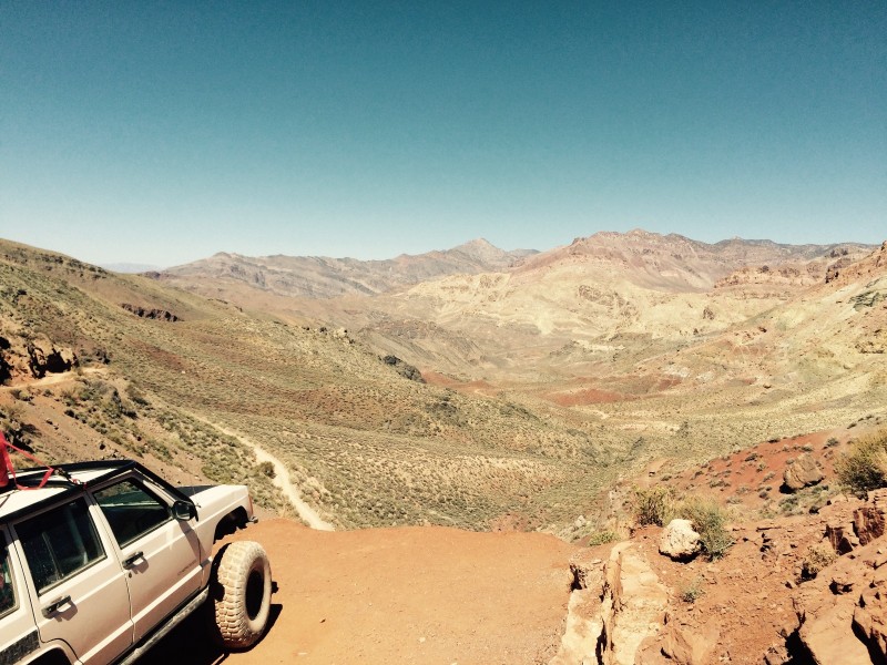
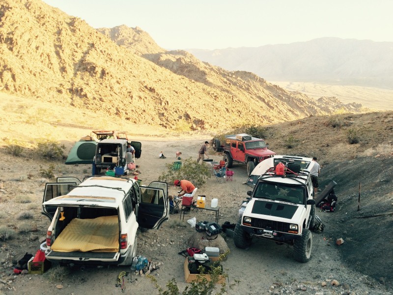
I took 8 vehicles through about 400 miles total with only one flat tire. We had to move fairly quickly to make all of these stops but we had a great time on a variety of terrain. If anyone has any other interesting parts that we missed, I'd love to hear about them.
Saturday 9:00 AM - Meet at the Mobile station in Olancha, just south of CoSo Junction (395/190).
Day 1 Start: Darwin Ghost Town (WP0059) 9:30 am (5.7 miles down Olancha Darwin Road from Hwy 190)
Day 1 Route = Darwin Loop ->Panamint Valley Road -> Indian Ranch Road -> Goler Canyon
Sunday
Depart @ 8:00 am
Day 2 Route = Warm Springs Canyon -> Warm Springs Canyon Bypass -> West Side Road -> Echo Canyon
Monday
Depart @ 8:00am
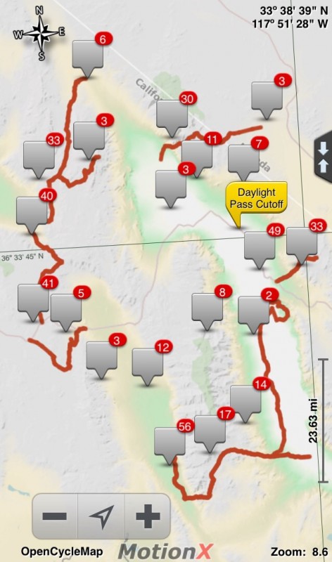
Day 3 Route = Echo Canyon -> Daylight Pass Cutoff -> Titus Canyon -> Ubehbe Crater -> White Top Mountain
Camp near mines halfway down Lippencott Grade or at the bottom in Saline Valley.
Tuesday
Depart Lippencott Grade @ 8:00 am
Day 4 Route = Lippencott Grade -> Hunter Mountain
I have Google Earth and Gpx files if anyone is interested. The route makes a counter-clockwise loop starting at the far west edge of this map.
This route was planned primarily using the book "Death Valley SUV Trails" by Rodger Mitchell.
I took 8 vehicles through about 400 miles total with only one flat tire. We had to move fairly quickly to make all of these stops but we had a great time on a variety of terrain. If anyone has any other interesting parts that we missed, I'd love to hear about them.
Saturday 9:00 AM - Meet at the Mobile station in Olancha, just south of CoSo Junction (395/190).
Day 1 Start: Darwin Ghost Town (WP0059) 9:30 am (5.7 miles down Olancha Darwin Road from Hwy 190)
Day 1 Route = Darwin Loop ->Panamint Valley Road -> Indian Ranch Road -> Goler Canyon
- Darwin Loop (approx 30 miles) - Difficulty: Easy - Moderate
- Town of Darwin
- China Garden Spring
- Panamint Springs - FUEL UP
- Ballarat Ghost Town
- Goler Canyon
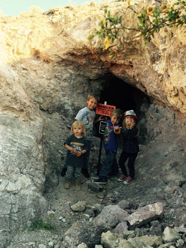
- Lotus Mine
- Newman Cabin
- Barker and Myers Ranch - Lunch
- Carl Mengel's Grave
- Mengel's Pass - Difficulty: Difficult / Moderate
- Russell Camp
- Mengel Cabin Greater View Spring
- Geologist's Cabin
Sunday
Depart @ 8:00 am
Day 2 Route = Warm Springs Canyon -> Warm Springs Canyon Bypass -> West Side Road -> Echo Canyon
- Continue from Butte Valley
- Warm Springs Mine
- Big Talc Mine
- Number 5 Mine
- Grantham Mine
- Artists Palette Loop
- Furnace Creek - REFUEL
- Zabriskie Point (time permitting)
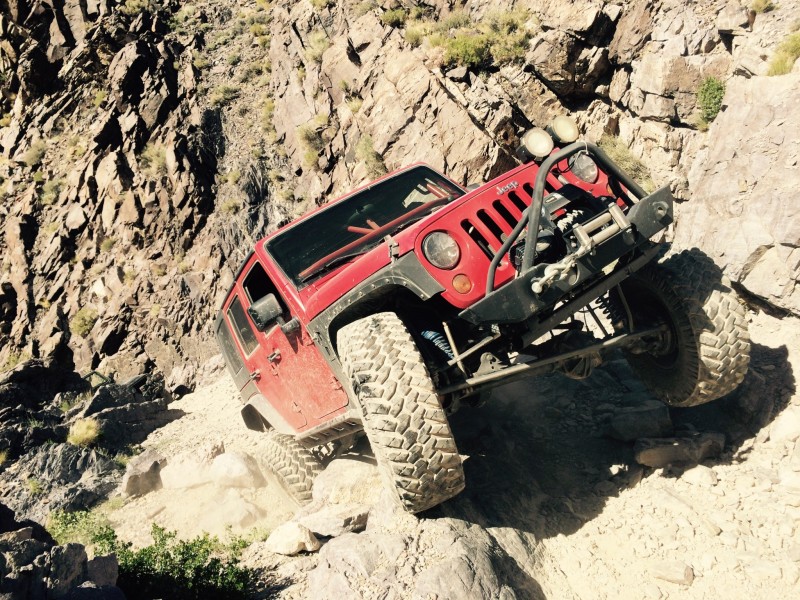
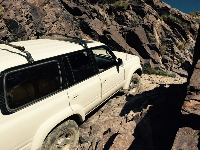
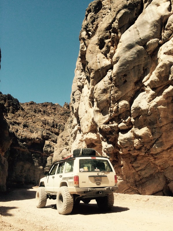
- Echo Canyon (10 miles) - Difficulty: Difficult
- Inyo Mine / Schwaub Ghost Town (located on Echo Canyon) and Lees Ghost Town (Time permitting)
- Pass through Echo canyon into Nevada.
Monday
Depart @ 8:00am
Day 3 Route = Echo Canyon -> Daylight Pass Cutoff -> Titus Canyon -> Ubehbe Crater -> White Top Mountain
- Head through Nevada desert towards highway 95
- Beatty - REFUEL
- Titus Canyon (27 miles) - Difficulty: Easy
- Ubehebe Crater (10 miles)
- Teakettle Junction (25 miles)
- Lost Burro Mine
- White Top Mountain (13.2 miles)
- The Racetrack
- Lippencott Grade
Camp near mines halfway down Lippencott Grade or at the bottom in Saline Valley.
Tuesday
Depart Lippencott Grade @ 8:00 am
Day 4 Route = Lippencott Grade -> Hunter Mountain
- Around Hunter Mountain
- Lippencott Grade
- Mines
- Return to Hwy 190
I have Google Earth and Gpx files if anyone is interested. The route makes a counter-clockwise loop starting at the far west edge of this map.
This route was planned primarily using the book "Death Valley SUV Trails" by Rodger Mitchell.