- Location
- Los Angeles
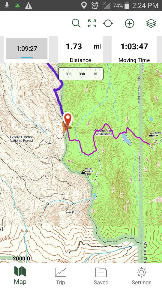
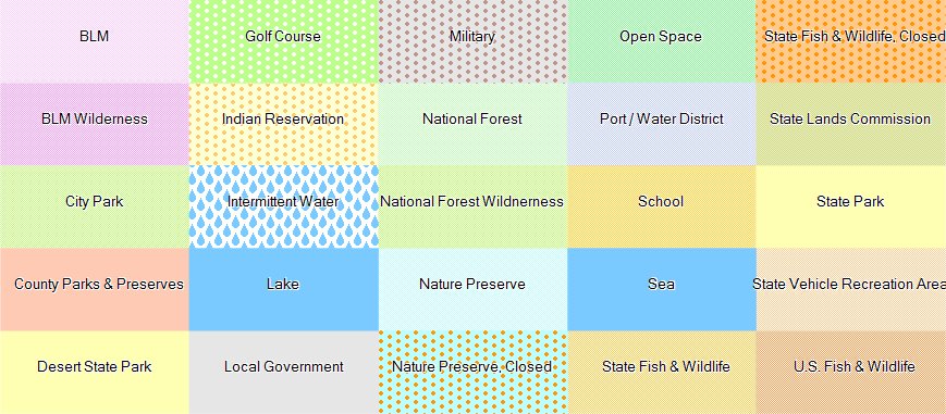
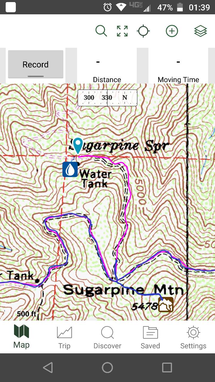
Has anyone purchased California Trail Map? https://www.californiatrailmap.com/ What do you think? $25 for a year of updates, $35 for lifetime. Seems kinda steep nowadays with Google and the internet, but it looks like a really good/accurate solution to give you info about the trails out there and the type of land your on. I'd like to get some input from people before pulling the trigger.
Thanks
Thanks